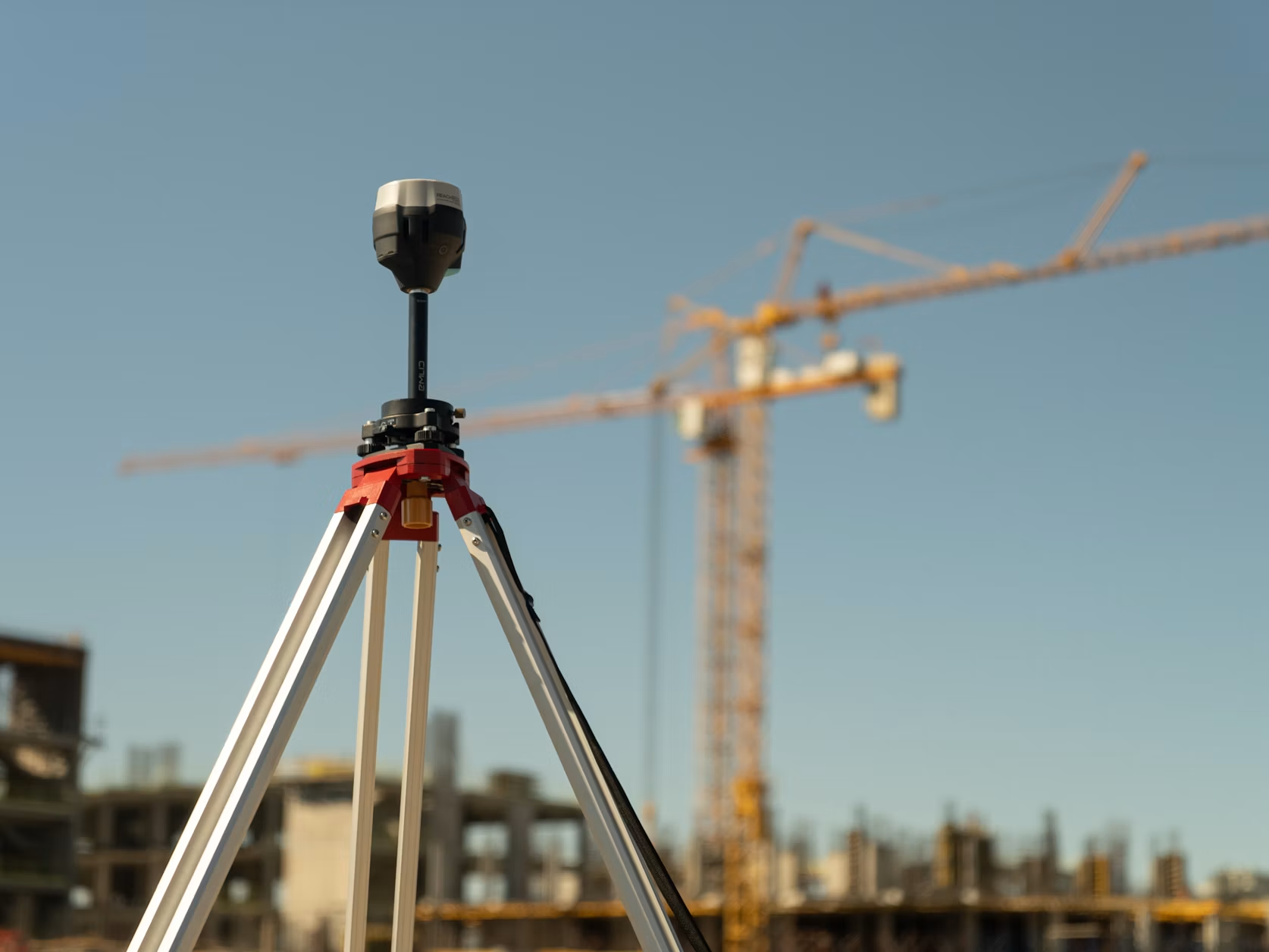
Every major construction, engineering, or development project starts with a plan. But even with careful planning, many projects still run into costly delays, budget overruns, and unexpected problems. Often, these issues don’t come from bad execution, but from a shaky start: initial information that’s inaccurate or incomplete. Managing project risk effectively begins long before any ground is broken; it means committing to understanding the physical space with absolute precision.
Understanding Project Risk Factors
Project risk isn’t just about one big disaster. It’s often a buildup of smaller, hidden factors that can throw timelines off track and inflate budgets. These risks might include underground utilities no one knew about, differences in property boundaries, or subtle landscape features that don’t match architectural designs. Without a clear and accurate picture of the site from day one, project managers are essentially working in the dark.
Getting a reliable baseline is the first step to dealing with these unknowns. This means more than just a quick look at old plans or public records. It requires a detailed, professional assessment of the site’s current conditions. Hiring a professional surveying company to gather precise spatial data gives you the fundamental truth that all future plans can confidently be built upon. This initial investment acts like an insurance policy against the much higher costs of fixing mistakes found halfway through construction.
The Hidden Costs of Inaccurate Information
Relying on old or inaccurate data is a gamble with expensive consequences. A building placed just a few centimetres off its planned spot can lead to major rework, arguments over contracts, and problems with compliance. Hitting an unmarked gas line or fibre optic cable doesn’t just create immediate danger and service outages; it also results in hefty fines and project stoppages. These are just some of the hidden costs of bad data that can cripple a project’s profitability.
The problems don’t stop at direct financial losses. Delays caused by fixing data-related errors can hurt a company’s reputation, strain relationships with key people, and trigger penalty clauses. The time spent resolving a boundary dispute or redesigning a part to fit real-world conditions is time that pushes back the project’s completion date and its return on investment.
Leveraging Spatial Data for Precision
Luckily, modern technology offers powerful ways to clear up these information blind spots. Spatial data, which is any information tied to a specific geographic location, gives a full and highly accurate view of a project site. Technologies like 3D laser scanning, drone-based photogrammetry, and ground-penetrating radar capture millions of data points, creating a detailed digital model of the environment.
This digital copy, often called a “digital twin,” lets project teams explore the site virtually before starting any physical work. They can spot potential conflicts between new designs and existing infrastructure, analyse terrain with centimetre-level accuracy, and confirm that all elements are correctly positioned, helping businesses avoid hidden logistics costs. The ability to mitigate construction risk with data analytics turns solving problems reactively into managing risk proactively, saving huge amounts of time and money.
Strategic Decisions for Project Success
Accurate spatial data gives project managers and stakeholders a reliable foundation for strategic decision-making. Planners can optimise site layouts for efficiency and safety, engineers can design with confidence, and construction crews can reduce errors and rework.
A detailed topographical survey, for example, could reveal a more cost-effective drainage route, reducing excavation and material costs. An accurate 3D model of an existing facility can also support precise prefabrication, shortening installation and shutdown times.
Treating spatial data as a strategic asset rather than a preliminary checkbox helps reduce risk, control costs, and keep projects on schedule while maintaining quality.